The Truth About Satellite Imaging
Has Easy Access to Satellite Imaging Applications Left Us Vulnerable? Who is Watching You When You Watch the World From Space?
Satellite imaging has advanced to the point where we can now see a cat in a window of an apartment building from outer space, or even what kind of car is in our own driveway at any given time.
When Google Earth debuted, it seemed like a fun tool and everyone welcomed the sight of the Google van trolling through their neighborhoods.
This is certainly not the only imaging application out there, but it is among the most well known and the most used.
We have already seen multiple cases of these applications being abused by stalkers, and some countries have tried to ban Google Earth and other well known satellite image providers.
We now live in a society where you can easily get the make and model of a vehicle parked at a house across the world (and yet we still can’t find Bin Laden) and never before has it been this easy for stalkers to utilize these tools.
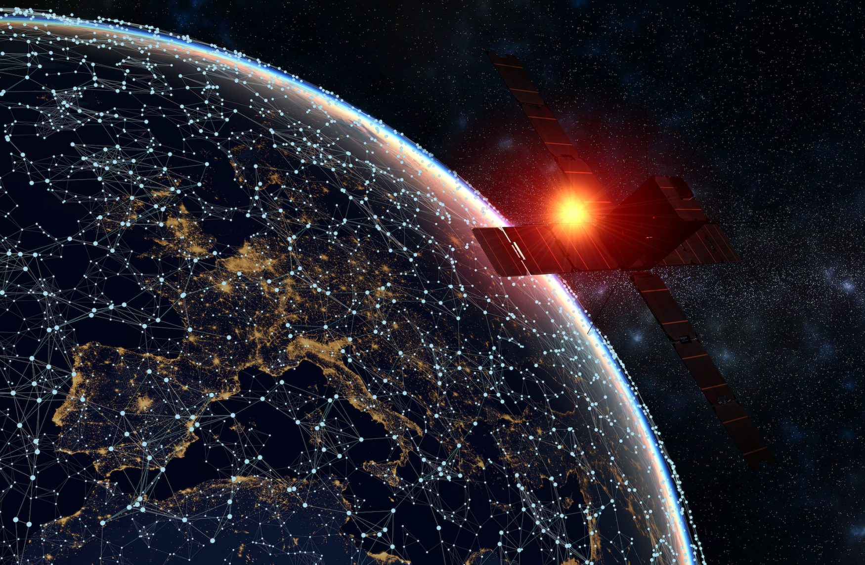
Satellite imaging is a powerful tool, and it is one that can be easily abused and by just about anyone.
You don’t need an advanced degree to interpret the data, and thanks to advanced satellites, we are no longer talking about fuzzy pictures.
It’s not just stalkers and obsessives however, spy agencies around the world are utilizing this technology to track the populace.
Big Brother is Alive and Well
https://www.youtube.com/watch?v=PqCBY4Lkl8Q&feature=emb_logoWho Else is Using these Applications?
While it’s one thing to use satellite imaging to learn more about our earth, find the nearest pizza place or see what our own house looks like from space, we need to be concerned about who else is using these applications.
We already know that the NSA is monitoring Americans on a daily basis and these new advances have certainly made their job easier.
But this is also making it easy on terrorists and those who wish to target the United States.
You can sit literally anywhere in the world and gain a bird’s eye view of even the most remote places.
Strategic sites are laid out in plain view, and it is not difficult to see how these images could be used in an attack against the U.S.
Before these technological advances allowed easy access into the lives of Americans, it was a little more difficult to keep tabs on us.
Yes, spy satellites have been in use for years, but today’s applications provide crystal clear imaging.
We are now in a situation where we have lost our right to privacy, and worse, we don’t even know who is violating it.
Can We Reclaim Our Right to Privacy?
In a way, we have reached the point of no return when it comes to satellite imaging.
The technology that powers it is advancing every day and although it may seem cool to play with, there are serious implications.
Unless there are safeguards in place to protect our right to privacy, there is no telling who can use this data.
Applications like Google Earth may seem harmless but in actuality they have stripped away even more of our rights.
 My First Amazing Ayahuasca Experience
  Pine Needle Tea
  The REAL Controllers of Humanity: The Papal Bloodlines
  Is it Global Warming or Cooling?
  Gun Rights and Obama Examined