With Spy Satellite Photos America Can be Safe
Spy Satellite Photos Will Make Sure we do Not Threaten That Safety.
The first step to making spy satellite photos possible came in 1957, when the, then, U.S.S.R. launched the satellite “Sputnik” into space, prompting the U.S.A. to accelerate their space program.
The first photographs by satellite were made in 1959, of Earth by the U.S. satellite Explorer 6 and of the Moon by the Soviet satellite Luna 3, sent to photograph the far side of the Moon.
From the camera being pointed in awe out into space, it was soon consistently being pointed at Earth with great interest, expressing both a new perspective of our Earth and the paranoia that demanded the spy satellite.
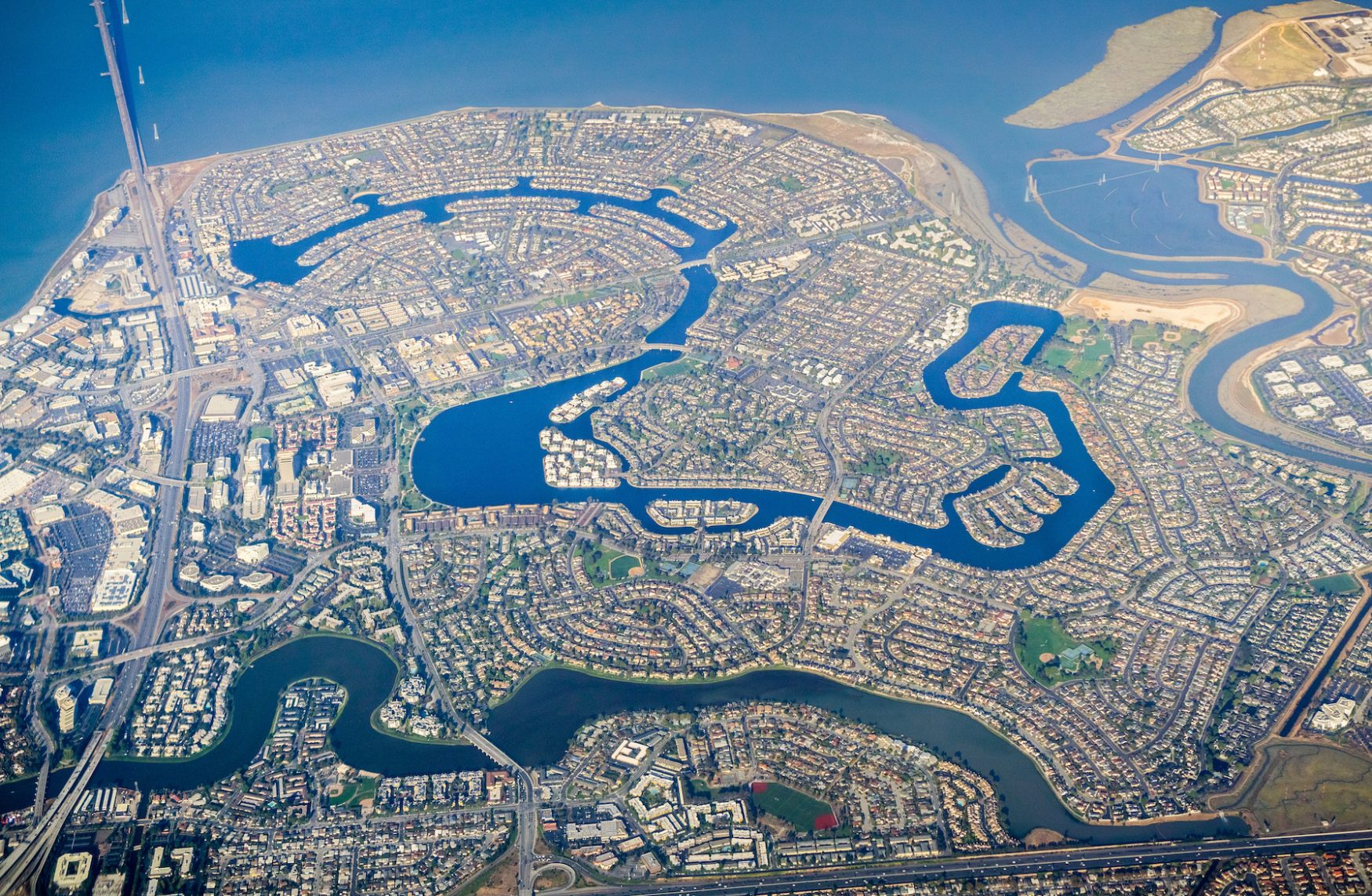
The earliest demand in satellite images were for military intelligence and warfare and since then have become a tool for many applications including eductaion, agriculture, geology, forestry and conservation
At one time only national governments that either owned the satellites, or were allies to those that did, could obtain spy satellite images of areas that interested them.
With the era of the Cold War, photo-reconnaissance satellites, as spy satellites were called, would gather intelligence by targeting hostile governments and foreign terrorists areas from space, which has now become commonplace.
Now individuals and businesses can secure required images for a very modest cost, considering the return they get from the intelligence obtained.
That doesn’t mean to say the military has lost interest in spy satellite photos, on the contrary, their systems are greater and a more sophisticated form of intelligence gathering than ever before.
They Can See You
Does the Left Hand Know the Right?
When spy satellite photos started to be received, the vast amount of data needed storage, interpretation and classification as all the data was for the military.
One of the agencies involved in this sort of business is the National Imagery and Mapping Agency (NIMA), which is leading a current program to declassify much of the data collected from the beginnings of this era.
They state they want to have this data made available to the public to promote the spirit of open governance, to show the taxpayer their investment in national security and to ensure that researchers and educationalists have access to this variety of historical information.
This is data that was classified top secret and only seen by intelligence specialists, but the relevance now is questionable and could well be a distraction from what surveillance is gathering today.
With vast intercontinental networks of surveillance satellites in space, and more being planned and developed, there is a saturation of spy satellite systems in place.
What Cost the Growth of a New Technology
As with all new or advanced technology, new applications are only limited by the availability and capacity of existing systems, and to defray costs, one can always ell the product to those who can’t afford their own.
Spy satellite photos are big business to many industries, and the availability to the general public has its own cost.
There are many areas of America, leave alone other remote areas of the planet that have never been mapped, and the voracious appetite of humanity to explore is already demanding that this technology provide the data for tourists and other explorers.
The terrorists in Mumbai, India, who attacked various targets killing nearly 200 people and injuring many, were found to have GPS systems, CDs containing high-resolution satellite imagery from Google Earth and other new technological devices to coordinate their strikes.
There is now the very latest technology available to the general public to spy on any Bluetooth enabled device, mobile phone, or laptop, with new software technology that does it all.
It’s a New World
Clearly satellites are here to stay, and so are spy satellite photos, for good or for bad, for better or for worse.
Having opened the door, what is interesting is the U.S. Department of Defense banned Google from taking photos of its bases and other military installations just recently.
The Bush administration again expanded the use of spy satellite photography for domestic use by state and local law enforcement officials, combining with other legislation, allowing them to tap into people’s private lives at will, day and night.
To quote Charles Allen, the chief intelligence officer for the Department of Homeland Security,
“We anticipate that we can also use it to protect Americans by preventing the entry of dangerous people and goods into the country.”
Being able to pinpoint a stick of chewing gum in somebody’s hand from 300kms up, may be useful to protect you, but just maybe its more likely to keep you in your place, and make sure you conform!
 My First Amazing Ayahuasca Experience
  Pine Needle Tea
  The REAL Controllers of Humanity: The Papal Bloodlines
  Is it Global Warming or Cooling?
  Gun Rights and Obama Examined